Tools

Free Astronomy Tools for Any Location

Interactive, physics-accurate tools for any location. Built in Guyana for tropical skies; works worldwide.

12 live · 16 planned · Built in Guyana · Works worldwide · Free

Featured · Live

Is tonight good for stargazing?

Free 0–100 Tonight score — Go, Maybe, or Skip for any location.

Cloud layers, dew risk, transparency, and astronomical dark in one decision. Built in Guyana; works worldwide.

Tonight

0–100

Go · Maybe · Skip

Tonight by city

City hubs with weather, dark windows, and ISS deep links — browse all locations from Tools.

Open locations

Live now

Built in Guyana. Tuned for the tropics. Works worldwide.

Most sky apps assume mid-latitude defaults or paywalled forecasts. AstroPhotosGY uses real ephemeris, tropical weather signals, and shareable lat/lon links. Georgetown is the demo default; pick any location on Earth.

Solargraph & pinhole

Simulate multi-day sun trails on real can geometry and compute optimal pinhole diameter, f-number, and blur before you build.

Sky planning

Plan observing nights with cloud cover, moonless dark windows, Bortle context, ISS spotting, and Milky Way seasonality. Defaults favor tropical skies; works at any latitude.

  • Stargazing Weather — Check cloud layers, humidity, dew risk, transparency, and 7-night clear windows for Guyana observing.
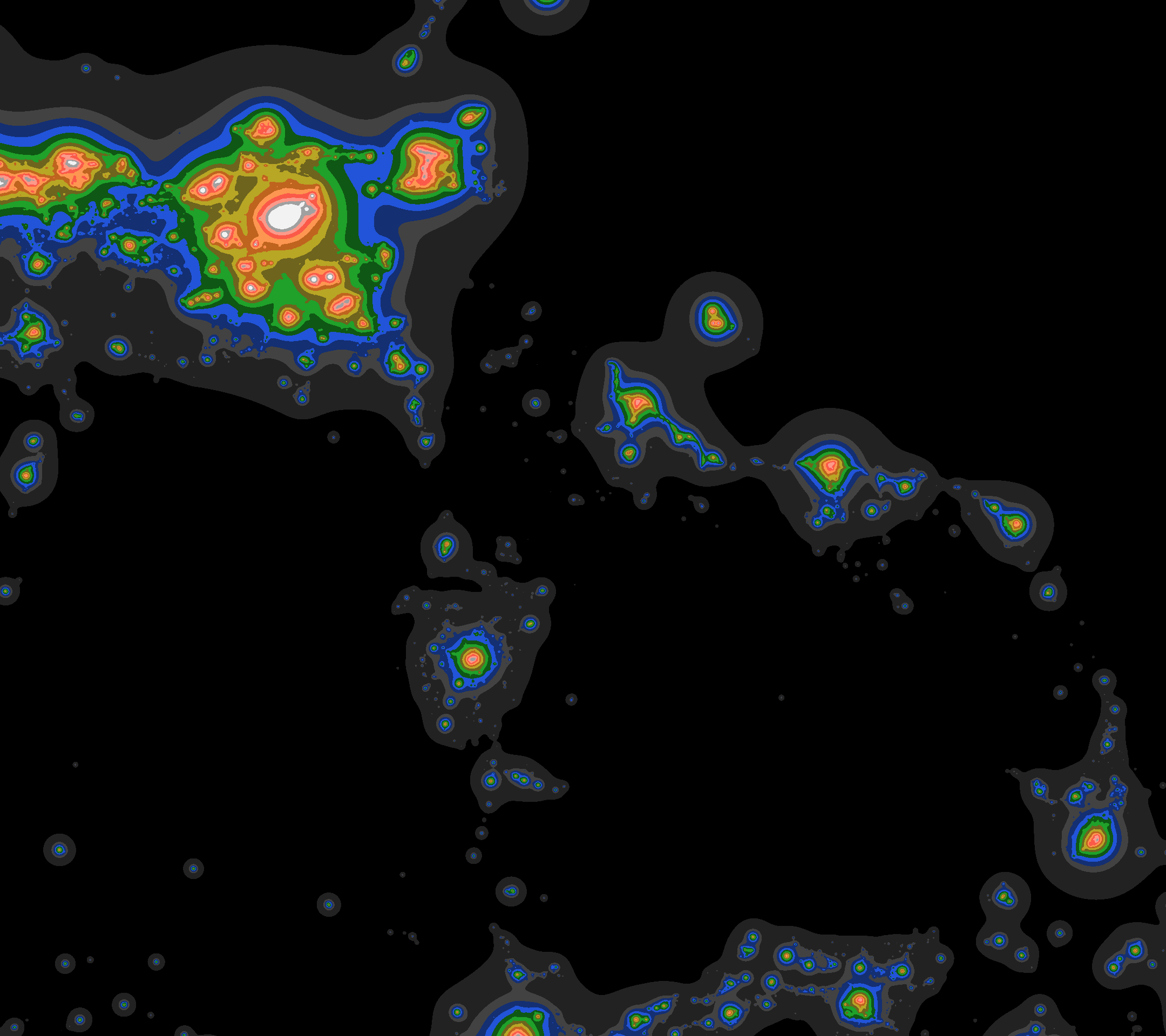
  • Bortle Scale Map — Check your Bortle class and find darker observing sites on a free light pollution map.
  • Planet Visibility Tonight — See which planets are visible tonight: viewing windows, sky sim, and rise/peak/set for your location.
  • ISS Pass Predictor — Find upcoming ISS passes with direction and peak altitude for easy spotting.
  • Tonight Observing Score — Get a simple Go, Maybe, or Skip score from clouds, dew, transparency, and astronomical dark.
  • Sun/Moon Times & Dark Window — See twilight boundaries and moonless dark windows for your observing date.
  • Milky Way Season Planner — Plan core visibility by month and time for Guyana and nearby latitudes.
  • Milky Way Field Guide — Preview a catalog of MW features and download a multi-page PDF shot pack with aim, exposure, and tracker notes.

Astrophoto calculators

Exposure, sharpness, trail math, and alignment helpers for equatorial and low-latitude setups, with mid-latitude use via your pin.

Visualization

Interactive sky visualizations with shareable location and date parameters.

  • Solar System 3D — Explore the Solar System in 3D with interactive orbital visualization.

Frequently asked questions

Are AstroPhotosGY astronomy tools free?
Yes. Every live tool on this hub is free to use in your browser with no account required. Share a link with lat/lon or date parameters to preserve your setup.
Do these tools only work in Guyana?
No. Tools accept any latitude and longitude. Guyana (~6°N) is our home base and default demo because tropical skies need different Milky Way, trail, and sun-path defaults than mid-latitude Europe or North America.
Why build astronomy tools in Guyana?
At roughly 6°N you see both celestial hemispheres, steep solar arcs, and long Milky Way core windows. Building here forces tropical-first physics that still works worldwide when you change the pin.
How is this different from Stellarium or PhotoPills?
Stellarium and PhotoPills are excellent general tools. AstroPhotosGY focuses on fast, free web workflows: solargraph simulation with real cans, Bortle-style maps, ISS spotting with visibility flags, and stargazing weather for humid nights, plus Learn lessons that teach the same skills.
Which tools are live today?
Live tools include Tonight Observing Score, Stargazing Weather, Bortle & Dark Sky Map, Sun/Moon Dark Window, Milky Way Season Planner, Milky Way Field Guide (PDF), ISS Pass Predictor, Planet Visibility Tonight, Solar Pinhole Camera, Pinhole Optics Calculator, and Star Trail Session Planner. More calculators are on the roadmap.